Our Digital Approach To Surveying
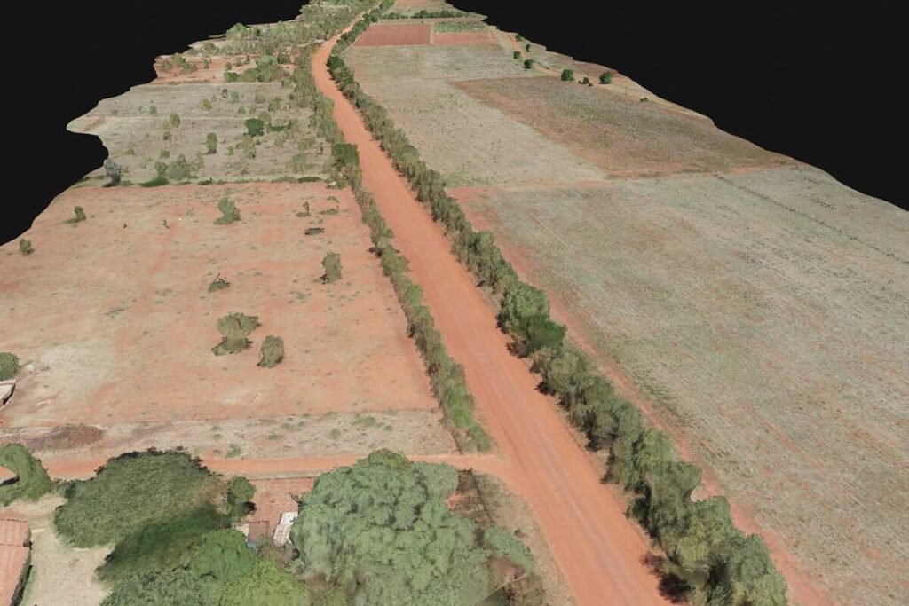
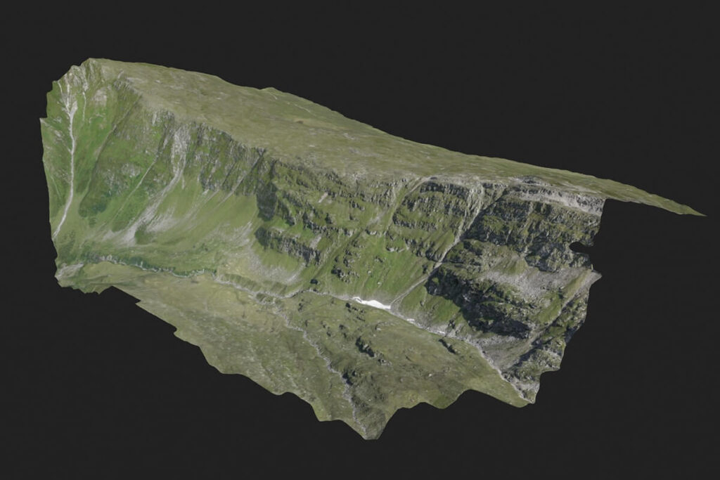
Our Surveying techniques offer enormous potential to businesses. With a drone, it is possible to carry out topographic surveys of the same quality as the highly accurate measurements collected by traditional methods, but in a fraction of the time. This substantially reduces the cost of a site survey and the workload of specialists in the field.


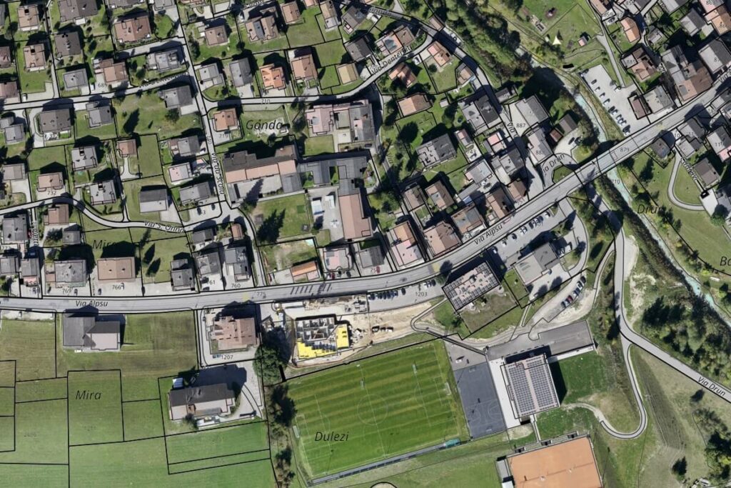
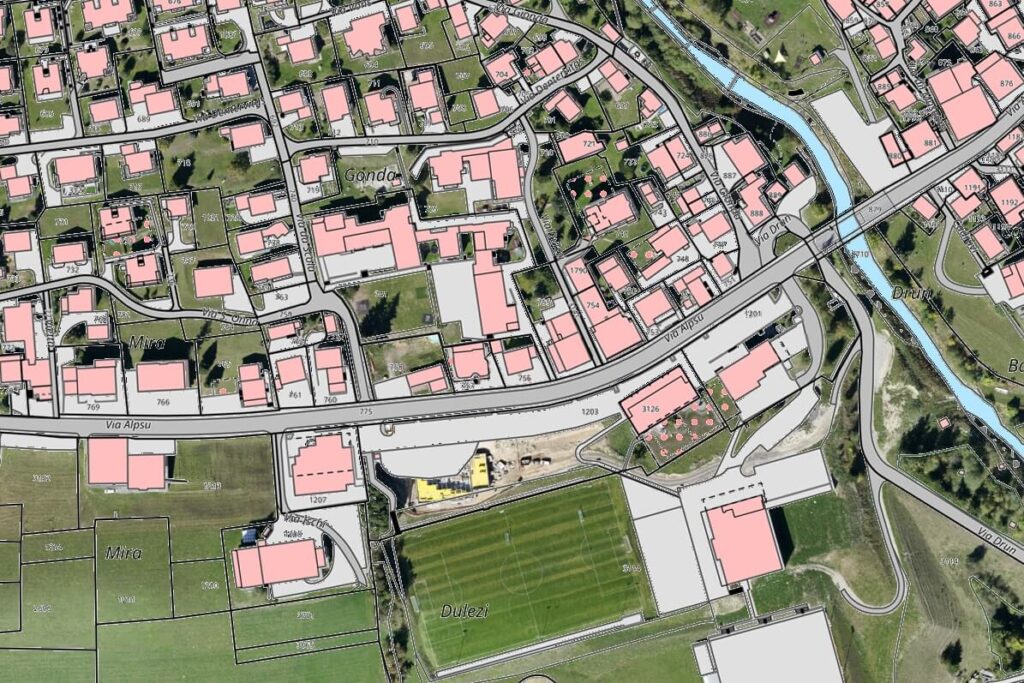
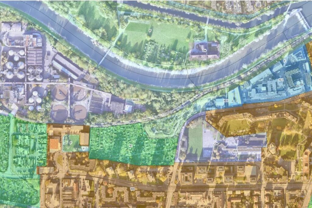
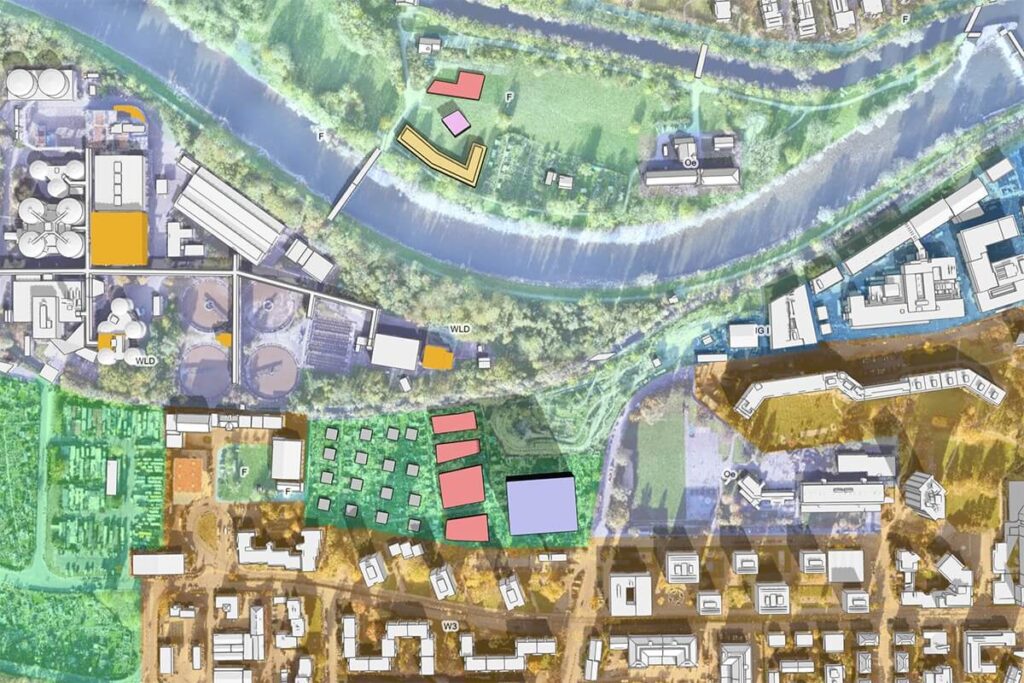
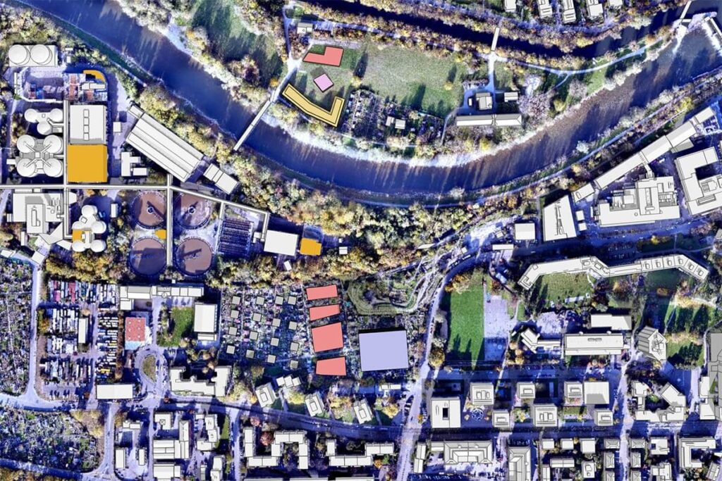
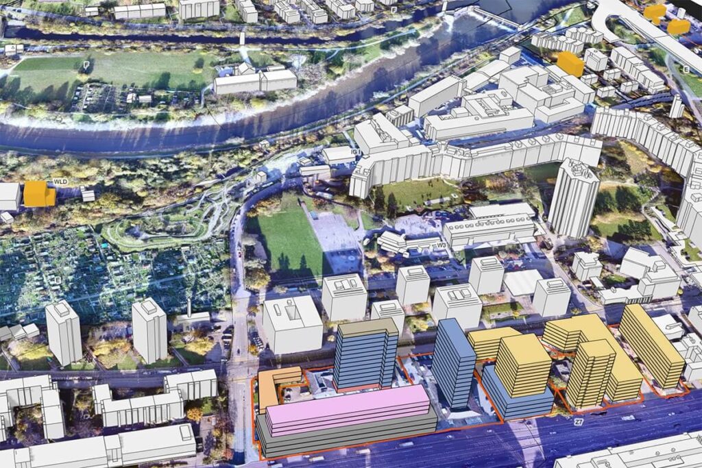
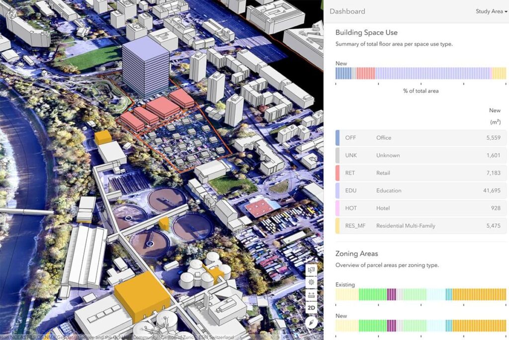
Castral Map Overlay On Aerial Images
Land management and development
REQUEST
A CALL BACK
A CALL BACK
We would love to hear from you, to get in contact with us please click below
Call (868) 746-1242
Looking For Exclusive Drone Services?
We would love to work with you, Please Contact Us Now.

